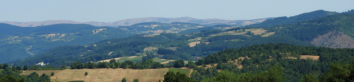
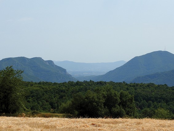
The mountain with the unusual name – Loret (the name dates back to the Romans), is the last in the series of mountain ranges of the Ovčar-Kablar Gorge. The highest peak (841 m) rises above the Požega Valley. On the slopes there are several authentic, picturesque villages. The most beautiful viewpoints are in the fields at the foot of the peak, with an open view of the neighboring mountains of Orovica, Ovčar, and Kablar, and a fantastic view also extends to the slightly more distant Maljen.
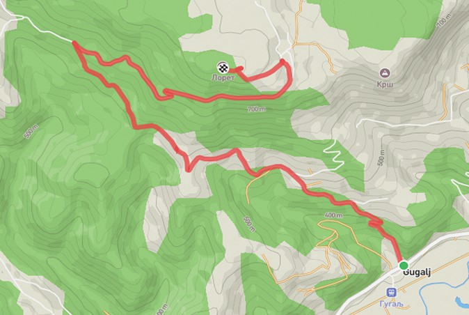
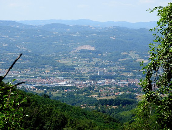
The trail starts on the main road, in the center of the village of Gugalj. The trail is a macadam and forest road until the very top. You can expect the first views of the Požega Valley and the surrounding mountains after a few kilometers. The path takes you past several authentic mountain households, and after one of them, 4.3 km from the start, you reach a point with a fantastic view of Požega. The most attractive viewpoint is not at the very top, but 200 m below. There is a transmitter and supporting infrastructure at the highest peak, there is no lookout, but it doesn’t take much effort, so you can certainly conquer the highest peak!
To return to the start, use the same route. A total of 13 km of hiking awaits you, so although there are no technically demanding segments, at least an intermediate level of physical fitness is required. There are no markings on the trail, so it is necessary to download a .gpx file. Since there are no descents from the road, with the downloaded track, you will not have any problems with orientation and movement.
Marking and description of the trail PD "Rujno" Užice