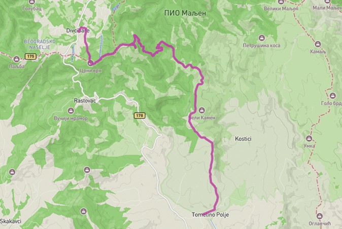
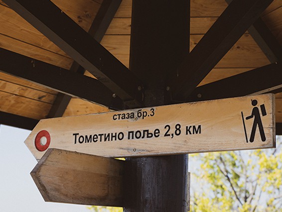
We start the hike in the center of the village of Tometino Polje, near the Local Office. We continue past the elementary school and the PD Maljen mountain lodge from Požega, then along a macadam road through the hamlet of Jankovići and Beli Kamen 801m above sea level, reaching a crossroads 6.4 km from the start, where the trail continues straight to the peak of Kraljev Sto and to the left to the peak of Velika Pleća. The trail then descends to the Bela Kamenica river, where, after crossing it, we slowly climb towards the top.
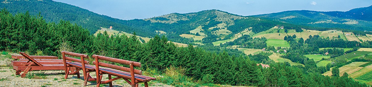
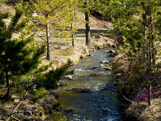
Velika Pleća peak 1037 m above sea level is 9.2 km from the beginning of the trail, then the path continues towards Crni vrh 1096 m above sea level, and then descends to the center of Divčibare, where the trail ends. The trail is marked with visible, standardized red and white markings, with plenty of lookouts, from which you can enjoy a fantastic view of Subjelo, Zajčica, Tometino Polje, Ovčar, Kablar, Veliki and Mali Maljen, Ravna gora, the Valjevo mountains… Although the trail is well marked, it is still advisable to download the .gpx file so that you can navigate the mountain without any doubts. The trail is marked in both directions, so you can reach Tometino Polje from Divčibare in the same way, following the markings. The trail is 12.4 km long, not circular, with 662 m of ascent and 277 m of descent. The trail takes about 5-6 hours. There are not too many technically demanding segments, and in terms of fitness it is a moderately demanding trail, so it is not recommended for beginners without previous hiking experience. Be especially careful when crossing the river.