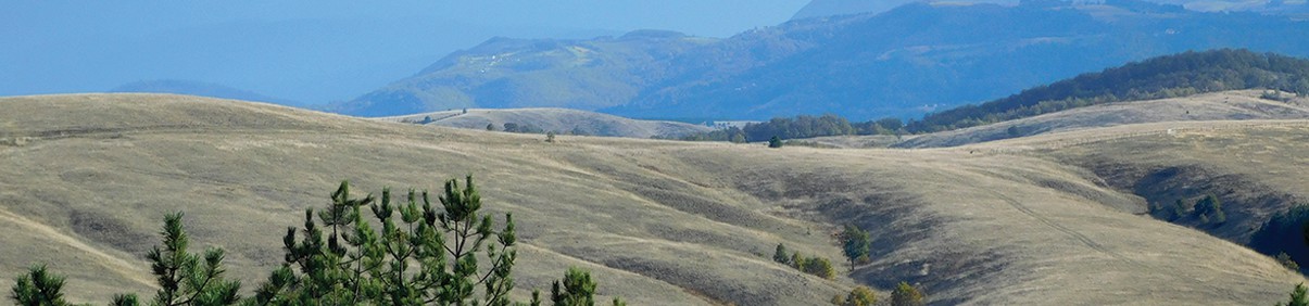
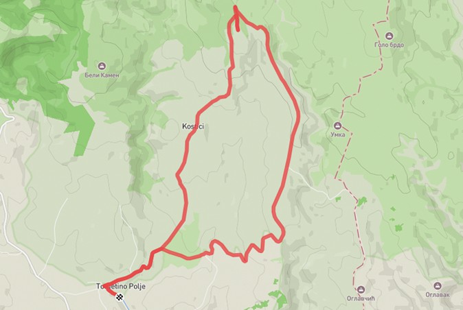
Another trail on the slopes of Maljen to the top of Mali Maljen. The trail starts at the confluence of the Bela and Crna Kamenica rivers and continues towards the hamlet of Kostići. After a few kilometers of walking and descending from the asphalt road, impressive views of the undulating terrain and numerous pastures, deciduous and coniferous forests await you. This is where a slightly more demanding climb begins, but without any technically demanding segments. The summit itself is approached from the western side, and after reaching the ridge, a sharp turn to the right is made, leaving you with only a few minutes to reach the summit itself and the view that stretches to the south, and the view also reaches Ovčar, Kablar, Subjelo… as well as the entire Tometino Polje.
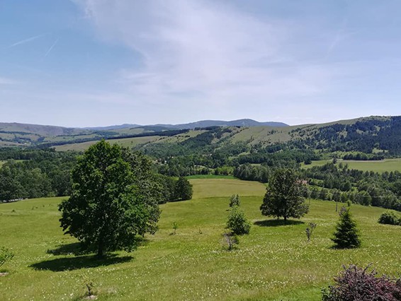
The descent from the peak and return to the village is no less attractive. The trail offers an unobstructed view of the slopes and peaks of Maljen towards Suvobor and Gojna Gora. We will then move along the ridge of the Maljen slope all the way to the “Tometinska pechurka” rest area, an ideal place to take a break and enjoy the unique ambiance. At the end, we will descend along a macadam road past several households and across the Crna Kamenica River to the starting point.
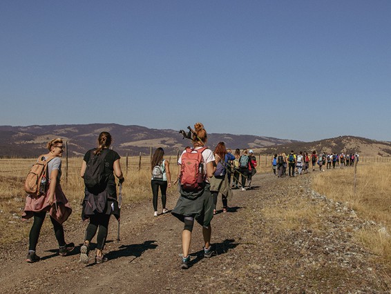
Although quite long, the trail is not too demanding in terms of fitness. Markings are sporadically present, however, rely primarily on the .gpx file. The total time required for hiking is about 6 hours.
Marking and description of the trail PD "Rujno" Užice