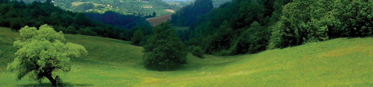
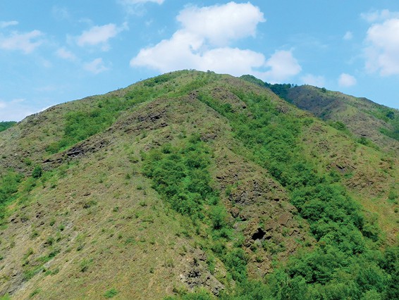
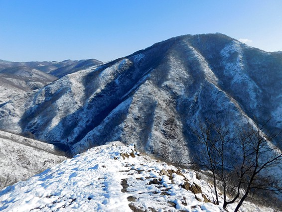
Orovica is a beautiful mountain on the edge of the Ovčar-Kablar Gorge. Together with the neighboring peak “Šest” and the slopes of Kablar, it forms the canyon of the Vrnčanska River. After climbing the asphalt road to the part of Tučkovo on the plateau at the foot of the Orovica peak, we will join a more attractive part of the trail, first a forest road and then a path carved into the Orovica rocks. The first goal is the “Vlasenac” viewpoint, which offers a fantastic view of the canyon and the surrounding mountains. The trail continues along the Drago Kandić’s road, which was built between the First and Second World Wars. The last segment before the very top is a narrow forest path that takes us to the highest point on the route – Velika Orovica peak! From the top, there is an attractive view of the entire western Serbia.
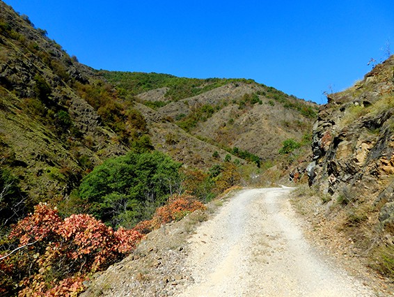
From the top we continue further towards Gornji Karanci, then down the canyon of the Vrnčanska River. A local road runs through the canyon connecting Tučkovo and Vrčane. The course of the river is interesting, with many waterfalls and cascades, and the roar of the water completes the unique ambient. The road, which is also our trail, was built in 1937-38, and the works were financed by the Banovina of Drina in the then kingdom.
The trail is well marked, with hiking markings and some improvised signposts. However, it is essential to have a .gpx file as some markings have faded and are especially rare on the stretch from the top of Orovica to Gornji Karanci.