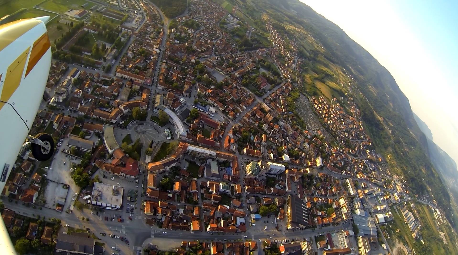
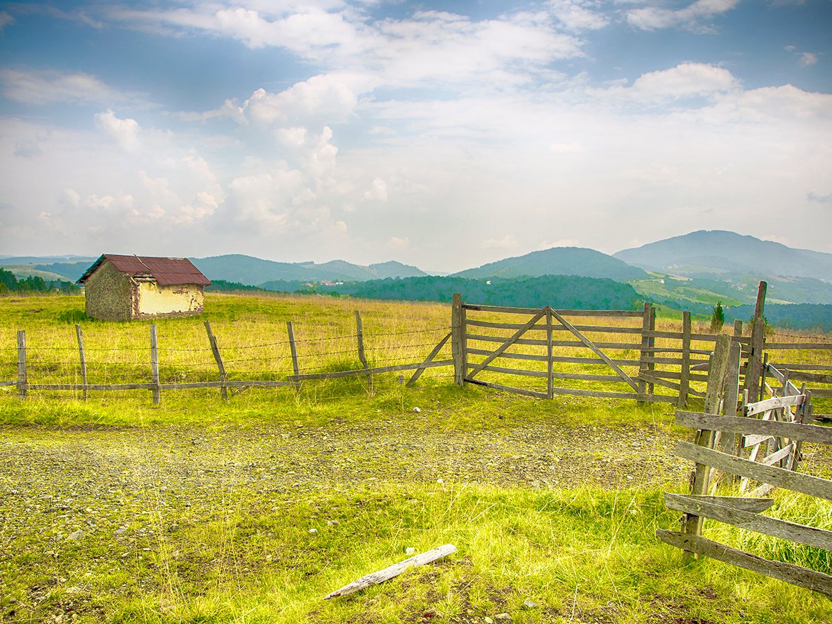
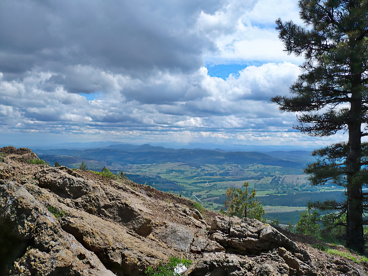
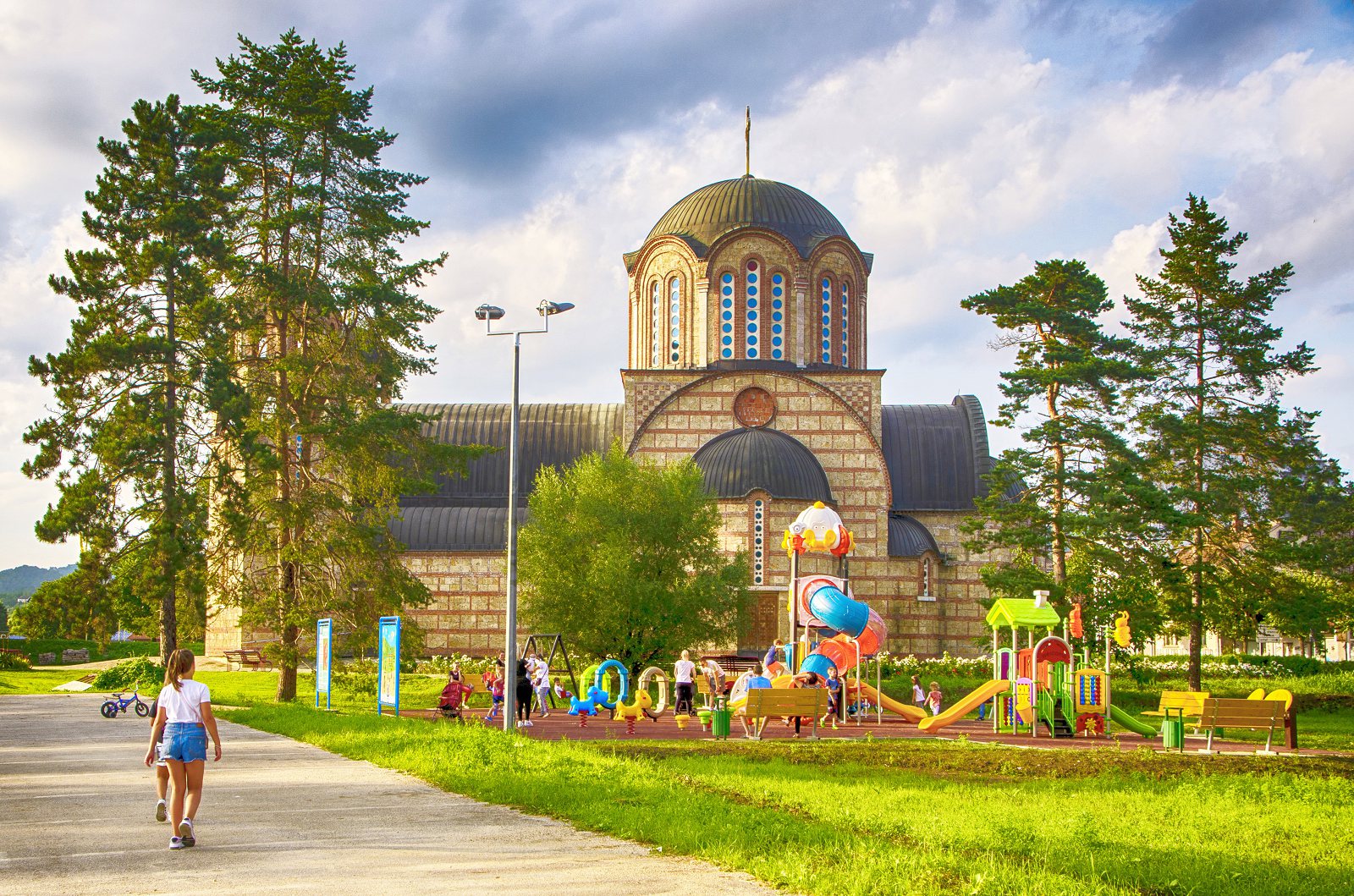
The municipality of Požega covers an area of 426.5 km2, has 42 settlements and 55 cadastral municipalities.It is located in western Serbia, in a spacious and sunny basin where the lower reaches of the Skrapež, Moravica and Đetinja rivers branches off, forming the West Morava.The lowest zone of the settlement, the alluvial plain, is closed from the north by Maljen, from the east by the massifs of Ovčar and Kablar, from the south by Blagaja and from the west by the gentle slopes of Trešnjica.It has the characteristics of a hilly-low mountain area.
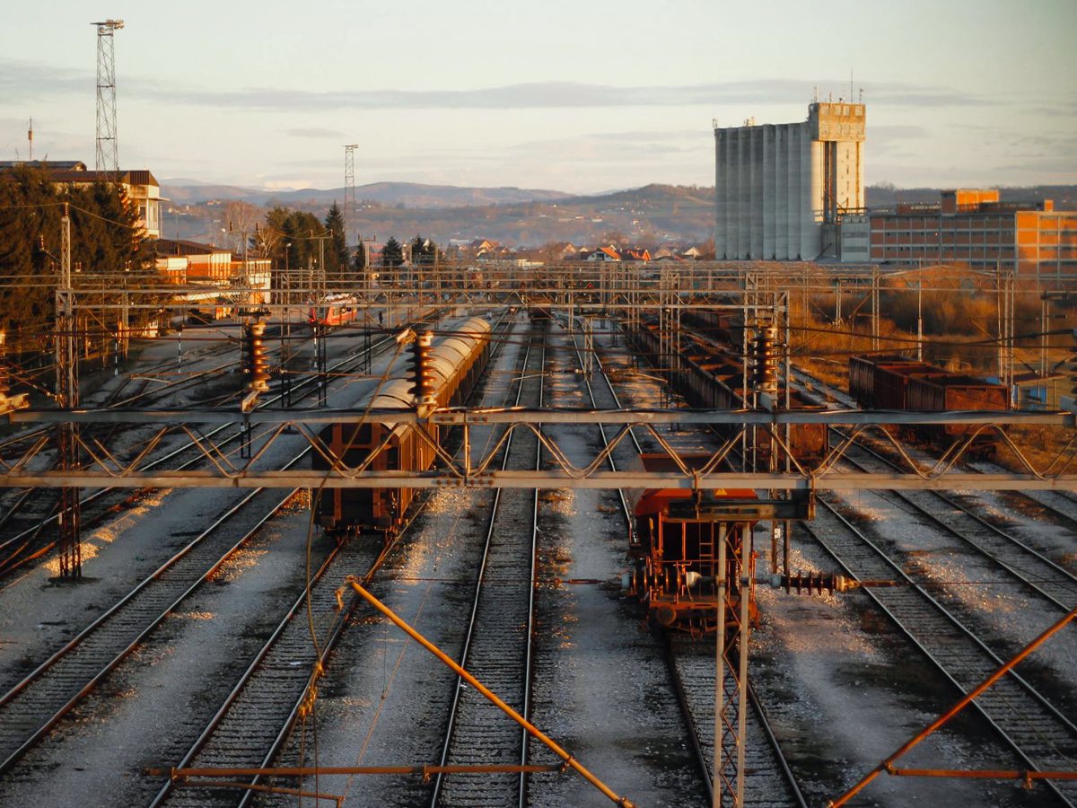
Požega is one of the most important traffic hubs in this part of Serbia.It consists of the railways Belgrade – Bar and Požega – Stalać, the existing highways M-21 and M-22 and the planned highways M-227 Belgrade – South Adriatic and E-761 Pojate – Kraljevo – Čačak – Požega.This traffic position contributes to Požega being at the crossroads of two belts of intensive development, along the Zapadna Morava and along the stretch Belgrade – Bar.Požega mainly belongs to the western tourist zone and is a member of the Western Serbia Tourist Region.The transit tourist routes are E-763 of international importance and E-761 of international-national importance.