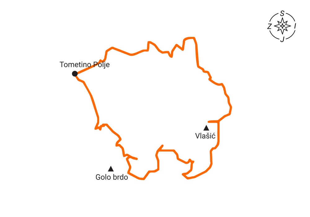
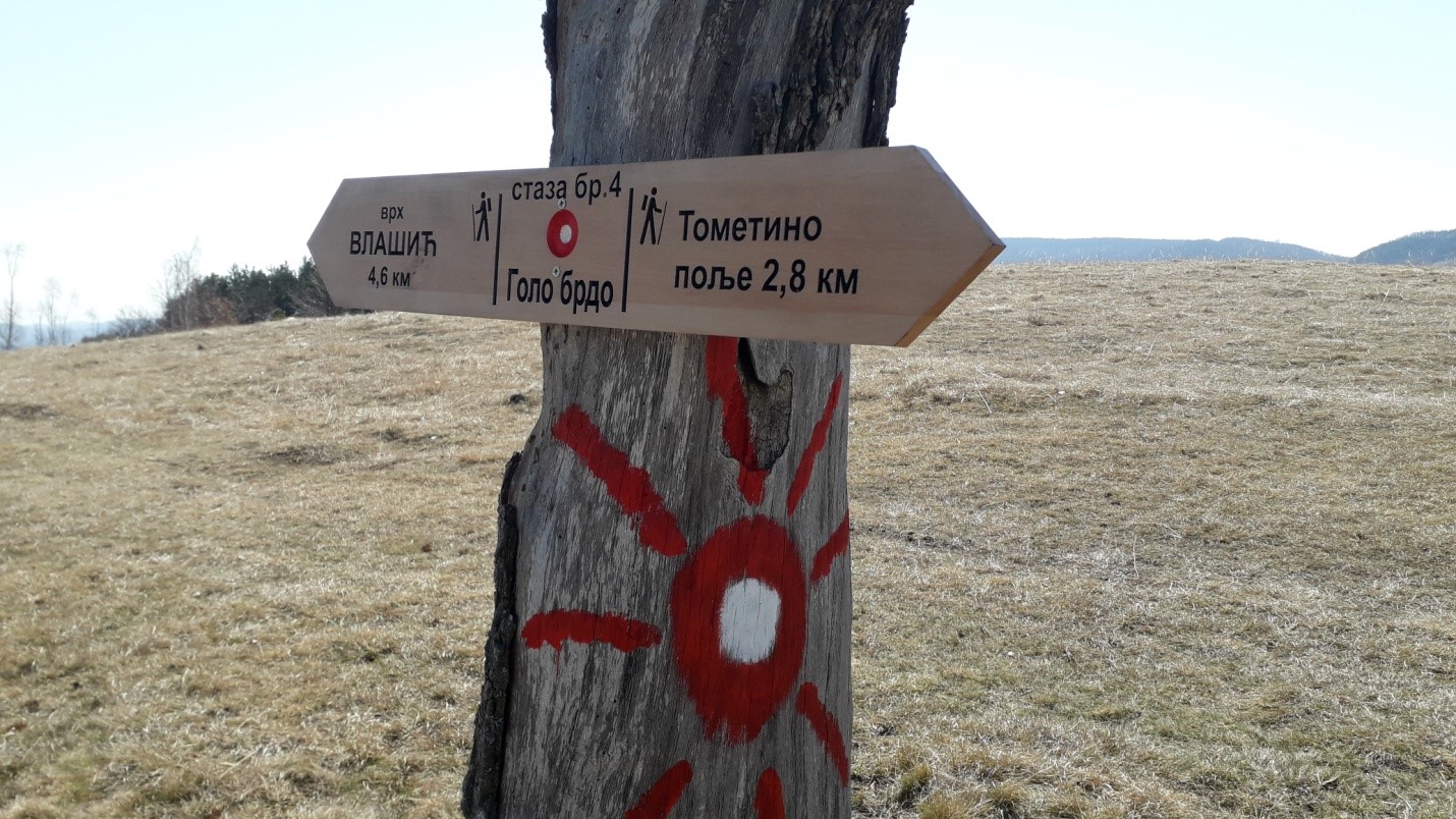
Tometino Polje – viewpoint Klik – top of Vlašić – viewpoint Milinkovići – Tometino Polje
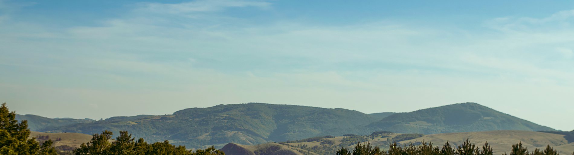
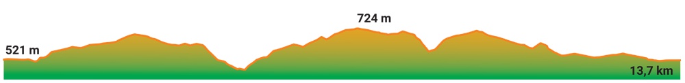
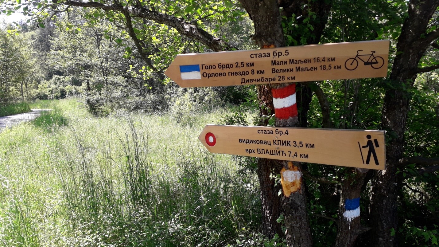
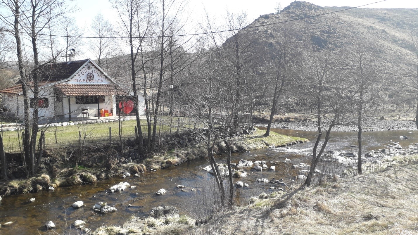
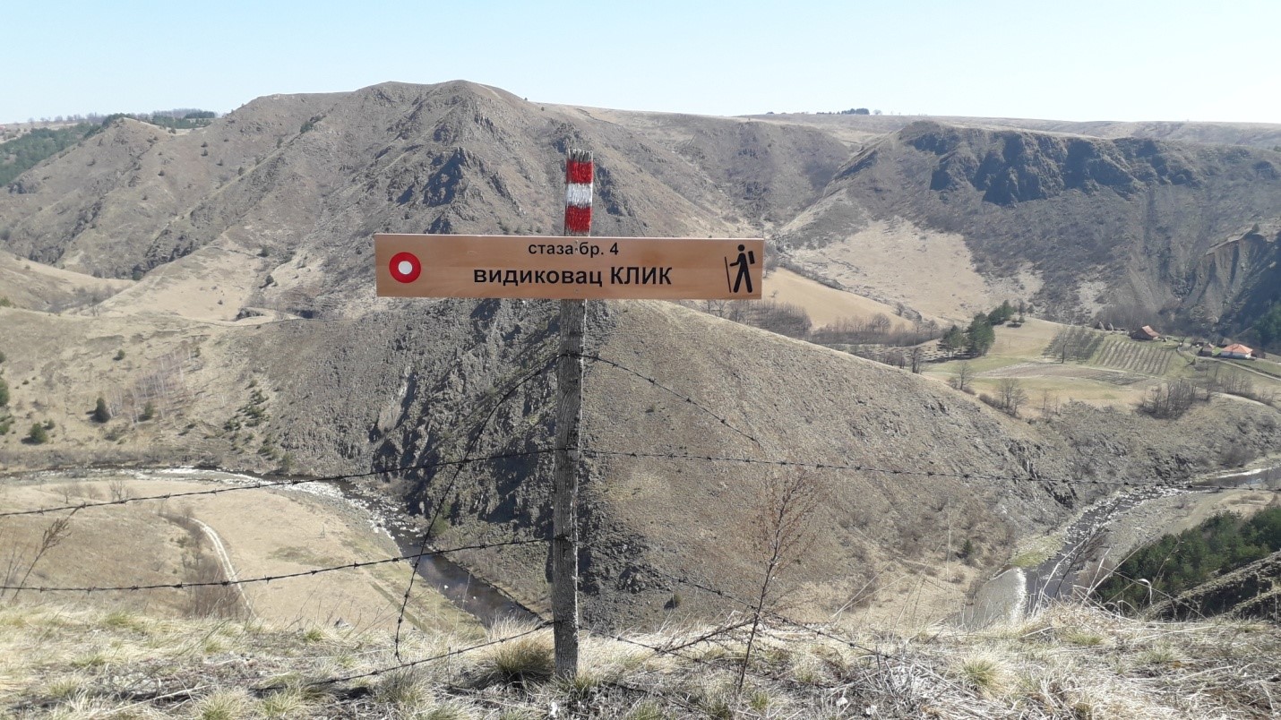
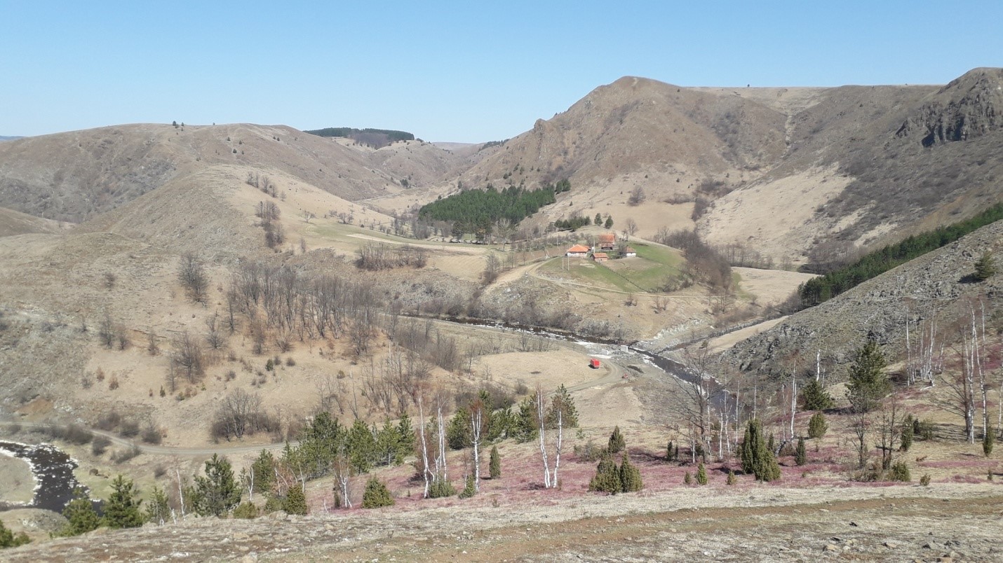
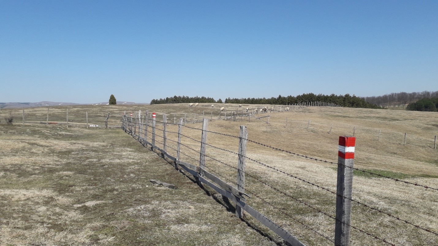
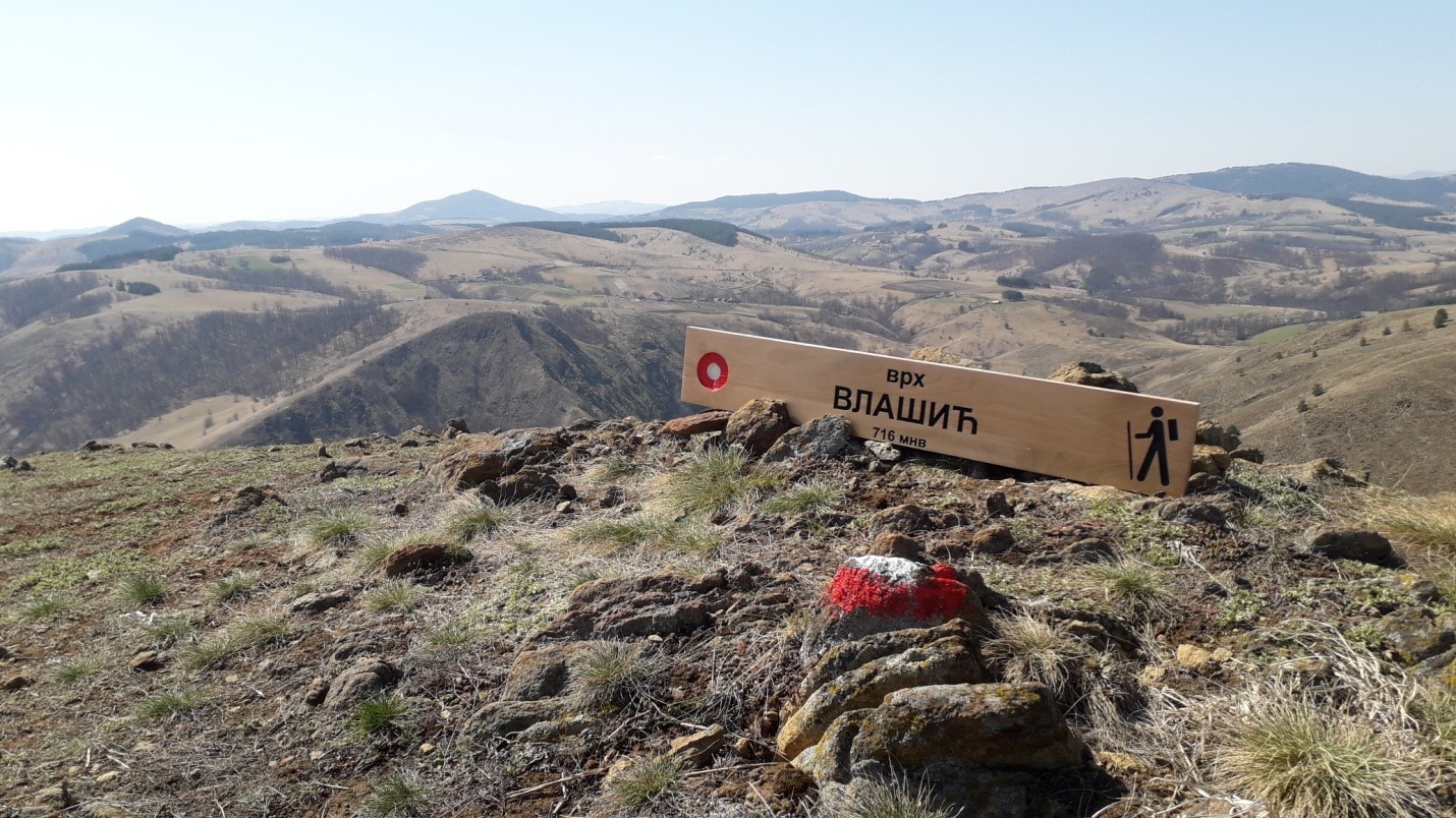
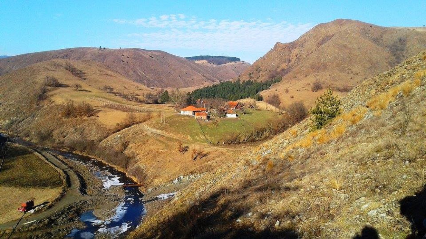
The trail is 13.7 km long, circular, with 420 m of ascent and 420 m of descent.Perhaps the most attractive path, which starts from the Municipal office in the center of the village, leads about 1 km along an asphalt road to the hamlet of Mitrovići, to Golo brdo 710m above sea level.We continue on the car road, across the pastures to the Klik viewpoint, which is located above the Orlovo gnezdo ranch, from where there is a view of the winding course, the meanders of the Kamenica river, spacious pastures, local households, dozens of hills that intertwine one over the other, covered with grass, stones,lonely trees, small groves, white birches, herds of cows, sheep, simply enticing the visitor to reach every elevation.The most beautiful photos of Tometino Polje were taken from this area.From there, we descend to 525 meters above sea level, crossing the Kozlica river over an improvised bridge.Then we climb the ridge, and from there we reach the top of Vlašić (716 m above sea level) along a 1.5 km long path, which is in our sight all the time because it dominates the surroundings.From the trail, you can see Kamenica, Divčibare, Ravna Gora, Subjel, Zajčica, Maljen – the vast expanses of this area because it is the highest peak in the vicinity.The view of two mountain rivers and their winding courses is not seen every day.Next, we go to the lookout point in the hamlet of Milinkovići, then to the center of Tometino Polje.
Marking and description of the trail by PD "Rujno" Užice