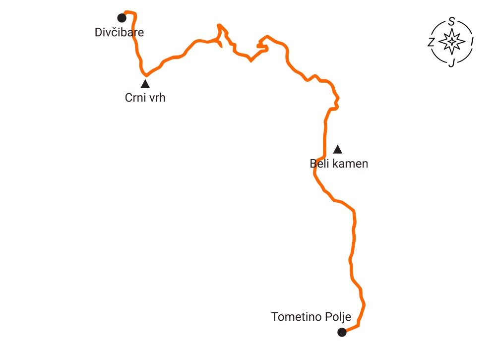
Tometino Polje – Beli kamen – Velika Pleća – Crni vrh – Divčibare
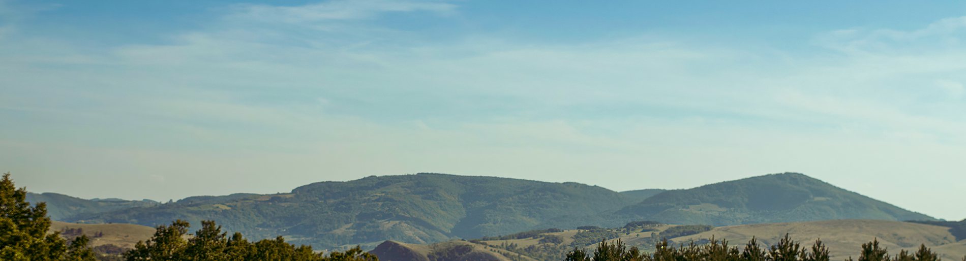
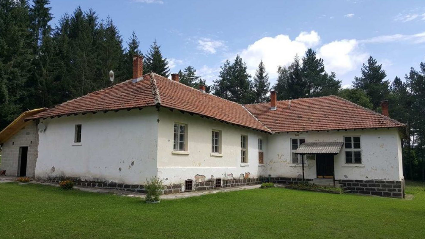
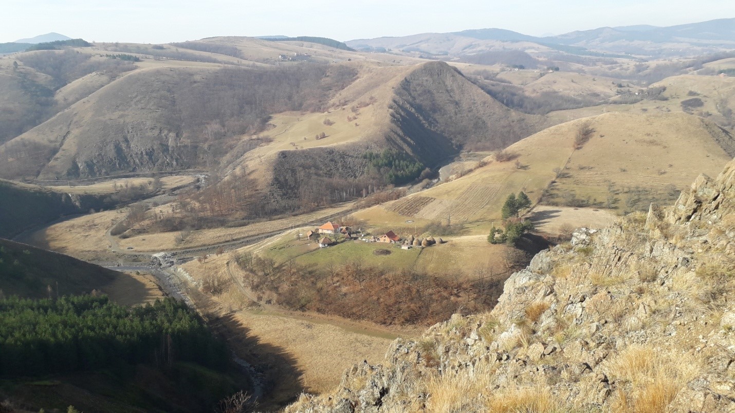
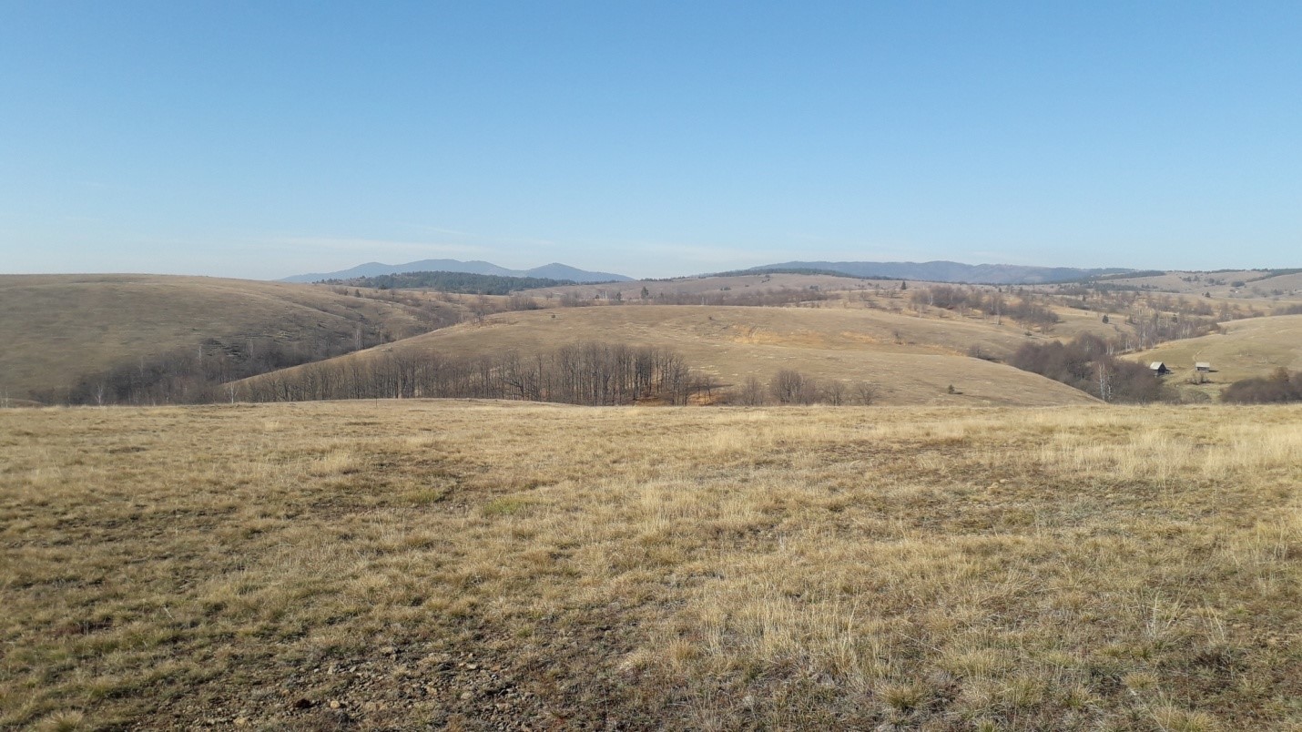
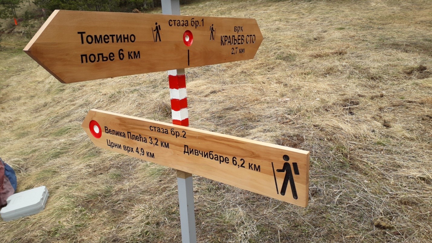
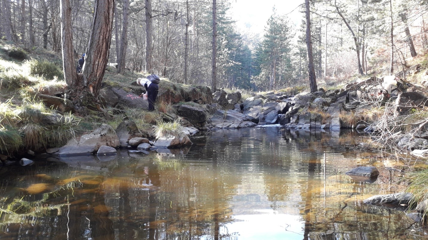
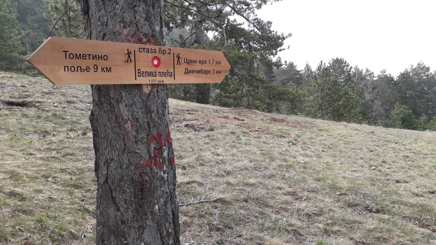
The trail is 12 km long, not circular, with 680 m of ascent and 320 m of descent.The crossing time is about 5-6 hours.The start is in the center of the village, near the local office, then past the elementary school and the Maljen mountain lodge from Požega, then on a macadam road through the hamlet of Jankovići and Beli kamen 801m above sea level, we reach the intersection at 6.4km from the start, where the trail 1-1a for the top of Kraljev sto and left for the top of Velika Pleća.The path then descends to the river Bela Kamenica, where after crossing it we slowly climb towards the top.The peak of Velika Pleća 1037 is 9.2 km from the start of the trail, then the road continues towards Crni vrh 1096 masl, and then the descent to the center of Divčibare, where the trail ends.The trail is marked with visible red and white markings, it is clear, with plenty of viewpoints, from where there is an excellent view of Subjel, Zajčica, Tometino Polje, Ovčar, Kablar, Veliki and Mali Maljen, Ravna Gora, the Valjevo mountains… The trail is marked in bothdirection, so from Divčibare you can get to Tometino Polje by the same way, following the markings.
Marking and description of the trail by PD "Rujno" Užice